Template:Zh GoogleMap Description Path: Difference between revisions
m (→KML Layer) |
|||
| Line 95: | Line 95: | ||
[[File:GM-Path-Detail-KMLLayer.png]] | [[File:GM-Path-Detail-KMLLayer.png]] | ||
{|class="zhpropertytable" | |||
|- | |||
|class="zhproperty"|KML Layer||class="zhdescription"|URL of the KML Layer, that would be displayed on the map | |||
|- | |||
|class="zhproperty"|KML Layer Show Type||class="zhdescription"|Map bounds for fitting the KML layer<br /> | |||
* '''Zoom''' - Zoom to fit bounds of layer | |||
* '''Unchange''' - Do not change viewport | |||
|- | |||
|class="zhproperty"|Suppress InfoWin||class="zhdescription"|Suppress open InfoWin when you click on layer | |||
|} | |||
=== Elevation === | === Elevation === | ||
Revision as of 14:57, 11 November 2015
Creating Path
The path means a polyline.
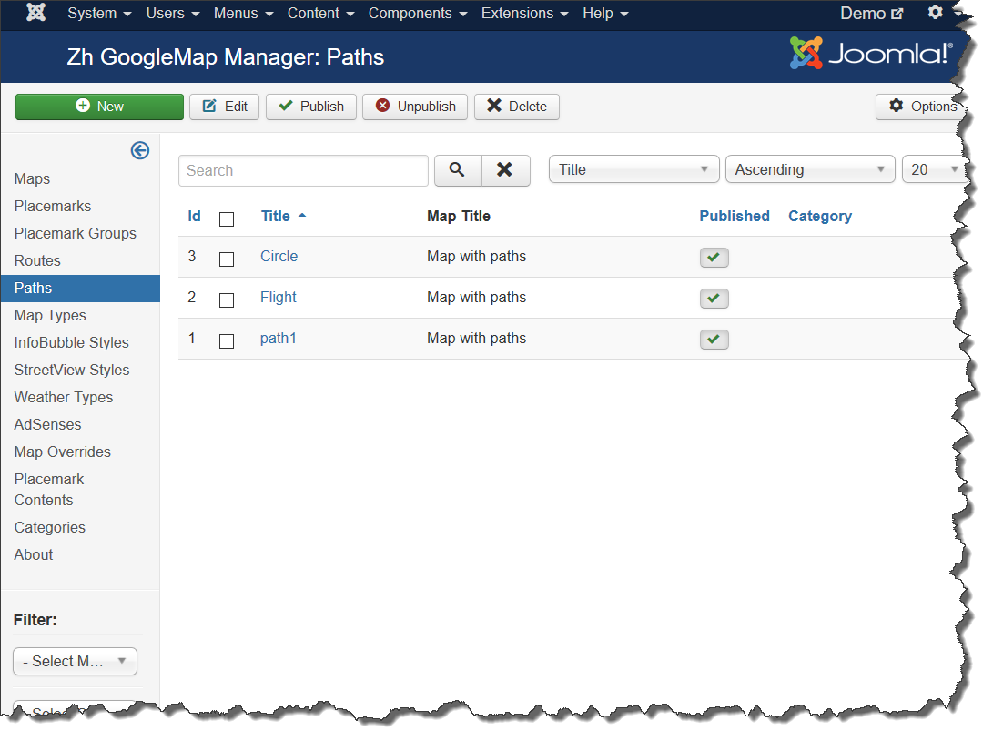
We turn to the tab "Paths".
Enter the necessary number of paths with reference to a specific map.
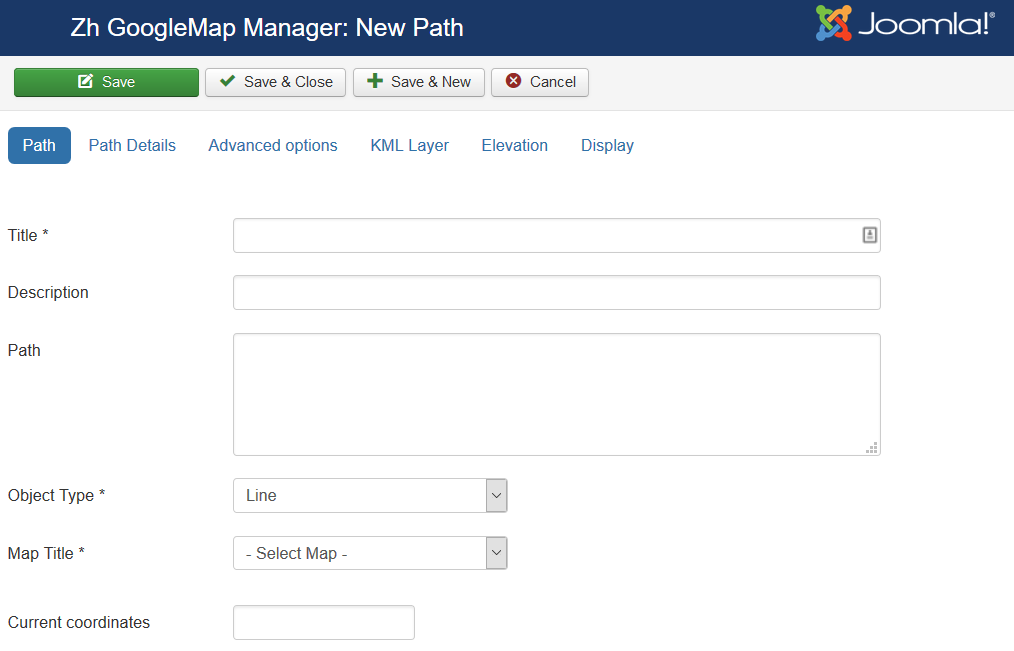
Field Path - a set of coordinates of points, the coordinates (Latitude, Longitude) are separated by comma (,), the points themselves - separated by a semicolon (;)
Coordinates it is convenient to choose by dragging the marker (values are substituted into the reference field in the form Current coordinates, from there you can copy and add a separator and value in the field Path), or clicking the mouse on the desired location.
In second part there will be described how draw polyline by tools and get values for path field.
Path properties
| Title | Path Title |
| Description | Description |
| Path | Path for example: 59.92335689062723,30.385787878185525;59.92374467628344,30.387547407299284 |
| Object Type | Polyline or Polygon (area) |
| Map Title | Title of the map, where path would be displayed |
| Category | The category that this path is assigned to |
| Current coordinates | Current coordinates |
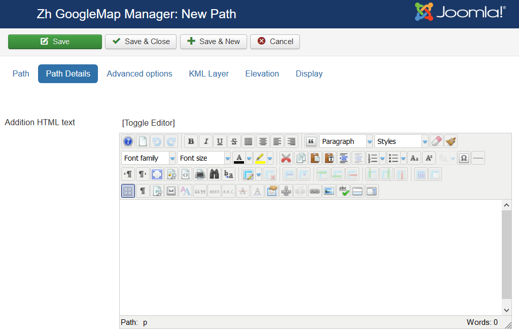
Path Details
| Addition HTML text | HTML text, that will be included in infowin Be careful, if you enter email address, the other Joomla! plugin it changed, and there will be an error and map will not be shown. In this way, you can copy code, that produced by plugin and paste into HTML text, and in this case plugin will not change it. |
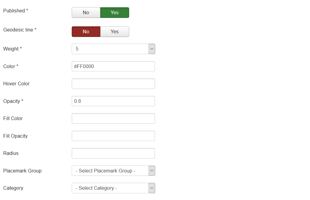
| Published | Published |
| Geodesic line | Create Geodesic line (circle-shaped) |
| Weight | Line Weight |
| Color | Line Color for example: #FF0000 |
| Opacity | Opacity, number value between 0.0 and 1.0 |
| Fill Color | Fill Color (for rectangles, circles) for example: #FF0000 |
| Fill Opacity | Fill Opacity, number value between 0.0 and 1.0 |
| Radius | Circle radius in meters |
| Placemark Group | Placemark Group, it can be used for managing by Placemark Group List |
| Category | The category that this path is assigned to |
Advanced options
| KML Layer | URL of the KML Layer, that would be displayed on the map |
| KML Layer Show Type | Map bounds for fitting the KML layer
|
| Suppress InfoWin | Suppress open InfoWin when you click on layer |
KML Layer
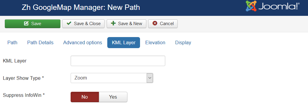
| KML Layer | URL of the KML Layer, that would be displayed on the map |
| KML Layer Show Type | Map bounds for fitting the KML layer
|
| Suppress InfoWin | Suppress open InfoWin when you click on layer |
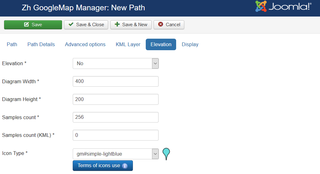
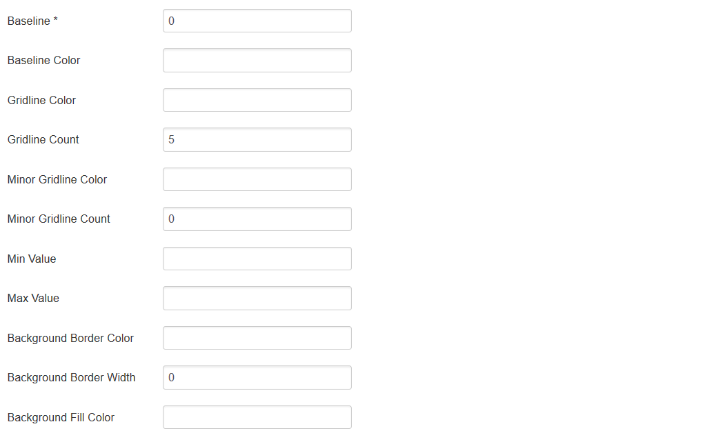
Elevation
Display
Create Path by drawing tool
The new feature added - drawing tool
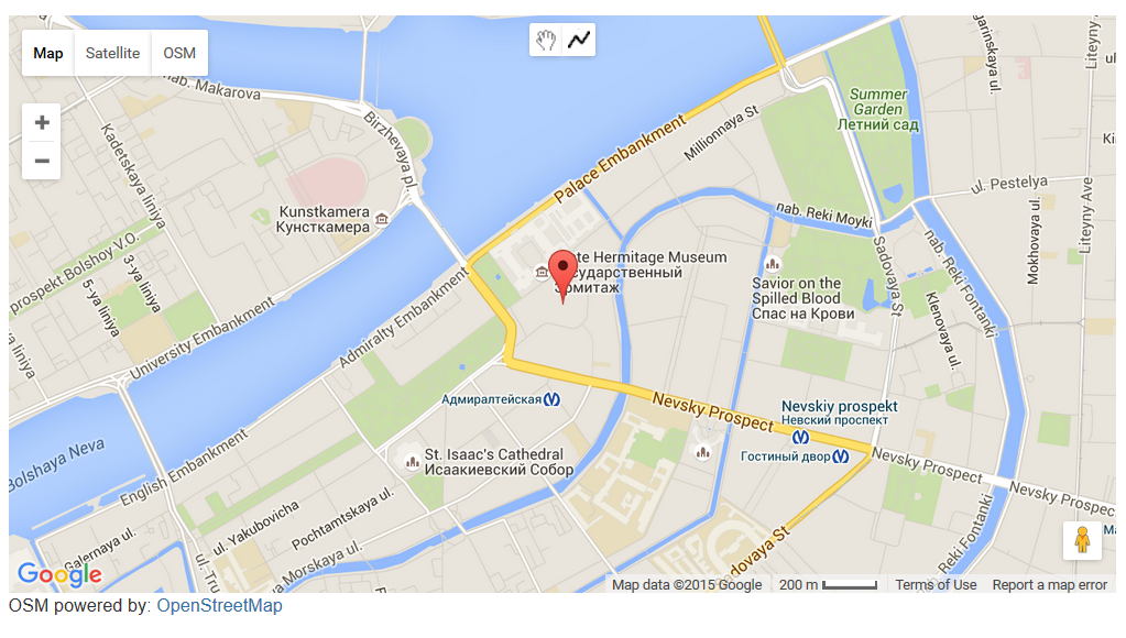
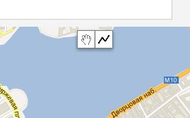
On map there are new controls
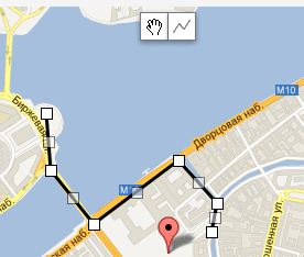
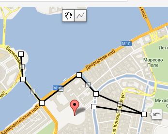
You just simple draw polyline by clicking on points. Double click to stop drawing.
When you finished draw, the Path field contain all coordinate values to build path.
If you wish to get some point coordinates, click on map in not drawing mode, and the field Current coordinates will contain it.
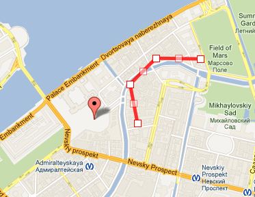
The Google's Drawing Library doesn't supports creating polyline with predefined points, therefore component not display drawing tools when you save, but in this case path is displaying as a editable polyline for more useful management. You can change it, or correct coordinates. To remove this polyline - clear path field with coordinates and save, in this case there is drawing tools appear again
