Template:Zh OpenStreetMap Description Map
Creating Map
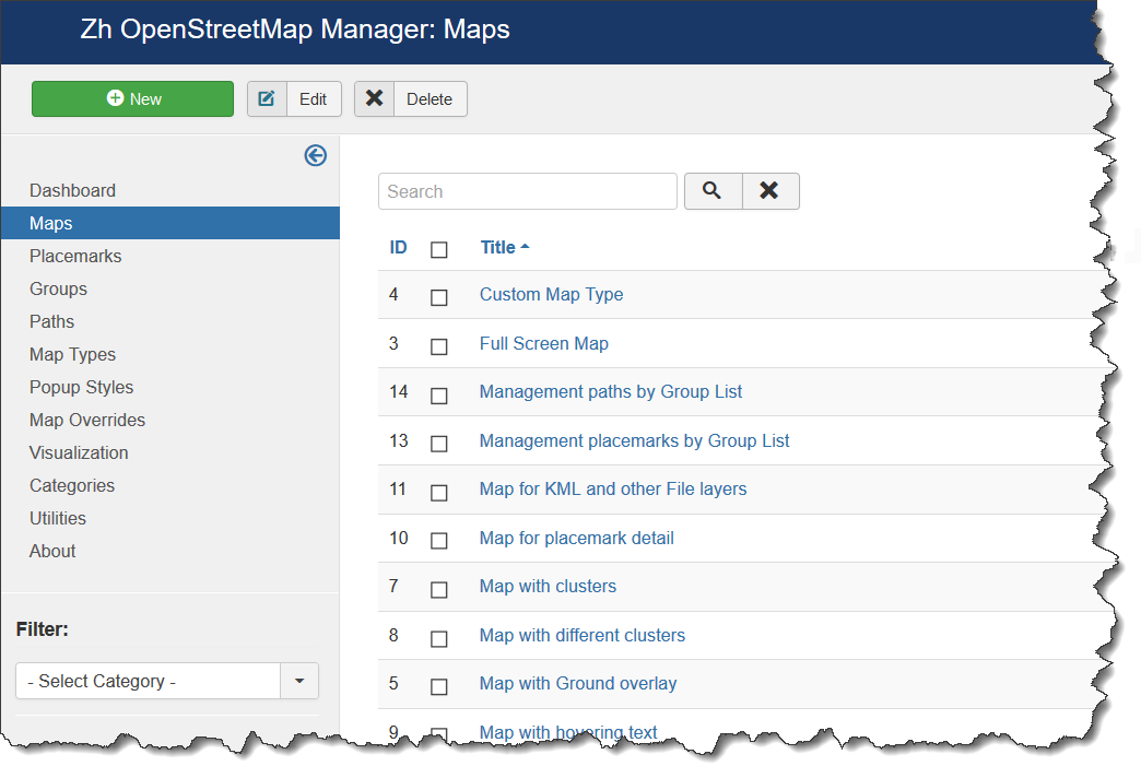
We turn to the menu "Maps".
Enter the number of maps with the correct configuration for us.
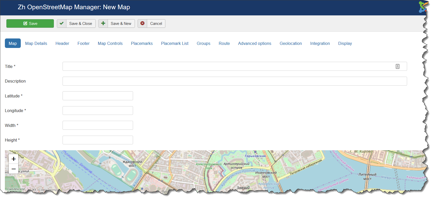
Coordinates it is convenient to choose by dragging the marker (the value is automatically substituted in the form fields ) or by clicking the mouse on the desired location.
Map properties
| Title | Map title |
| Description | Description |
| Latitude | Map center Latitude |
| Longitude | Map center Longitude |
| Width | Map Width, if set to 0, map will be 100% wide |
| Height | Map Height if set to 0, map will be 100% height. |
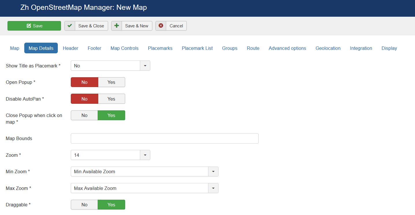
Map Details
| Show Title as Placemark | Show map title as a placemark
|
| Open Popup | Open Popup for map title immediately |
| Disable AutoPan | Disable AutoPan when open popup |
| Map Bounds | Map bounds to protect navigation outside map You have to enter Latitude1,Longitude1;Latitude2,Longitude2 |
| Zoom | Initial Map Zoom |
| Min Zoom | Min Zoom for Map |
| Max Zoom | Max Zoom for Map |
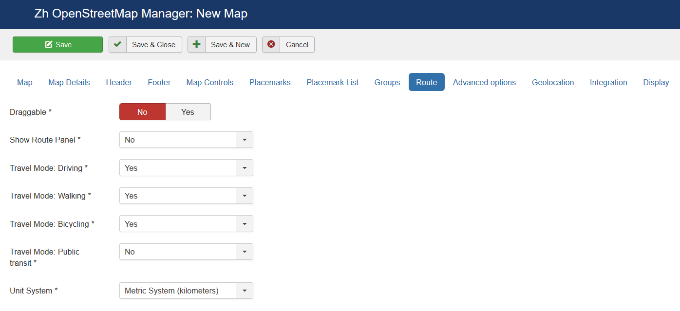
| Draggable | Enable/disable Map dragging |
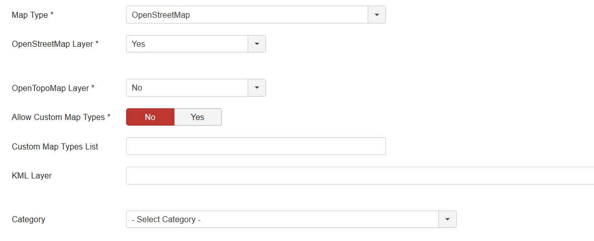
| Map Type | Initial Map Type
|
| OpenStreetMap Layer | The enabled/disabled state of the OpenStreetMap Layer and ability to use Map Type Control to switch to that layer |
| Open TopoMap Layer | The enabled/disabled state of the Open TopoMap Layer and ability to use Map Type Control to switch to that layer |
| Allow Custom Map Types | The enabled/disabled using custom map type and ability to use Map Type Control to switch to that layers |
| Custom Map Types List | List of custom map types ID for using on map, separator ; Example: 1;2;5 |
| KML Layer | URL of the KML Layer, that would be displayed on the map |
| Language | Language for map objects names Example: ru-RU |
| Category | The category that this map is assigned to |
Using KML Layer
If you have KML-file, you can put into accessible folder on site and fill URL in map field KML Layer.
If you want to use more than one file, you can use "featute", that path field of Paths is not required
- go to Paths tab
- create path
- fill KML Layer field
And after that new layer will be displayed
Map Header
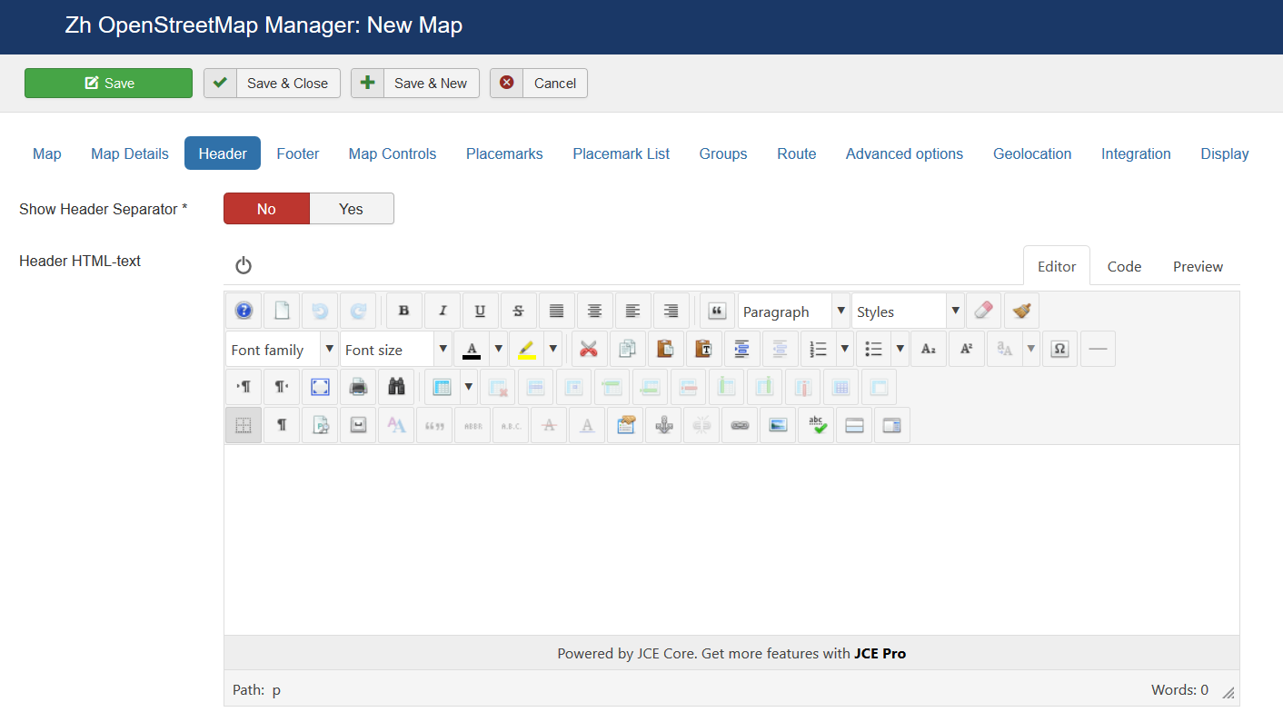
| Header HTML-text | HTML text on top of the map |
| Show Header Separator | Show Separator after Header HTML text |
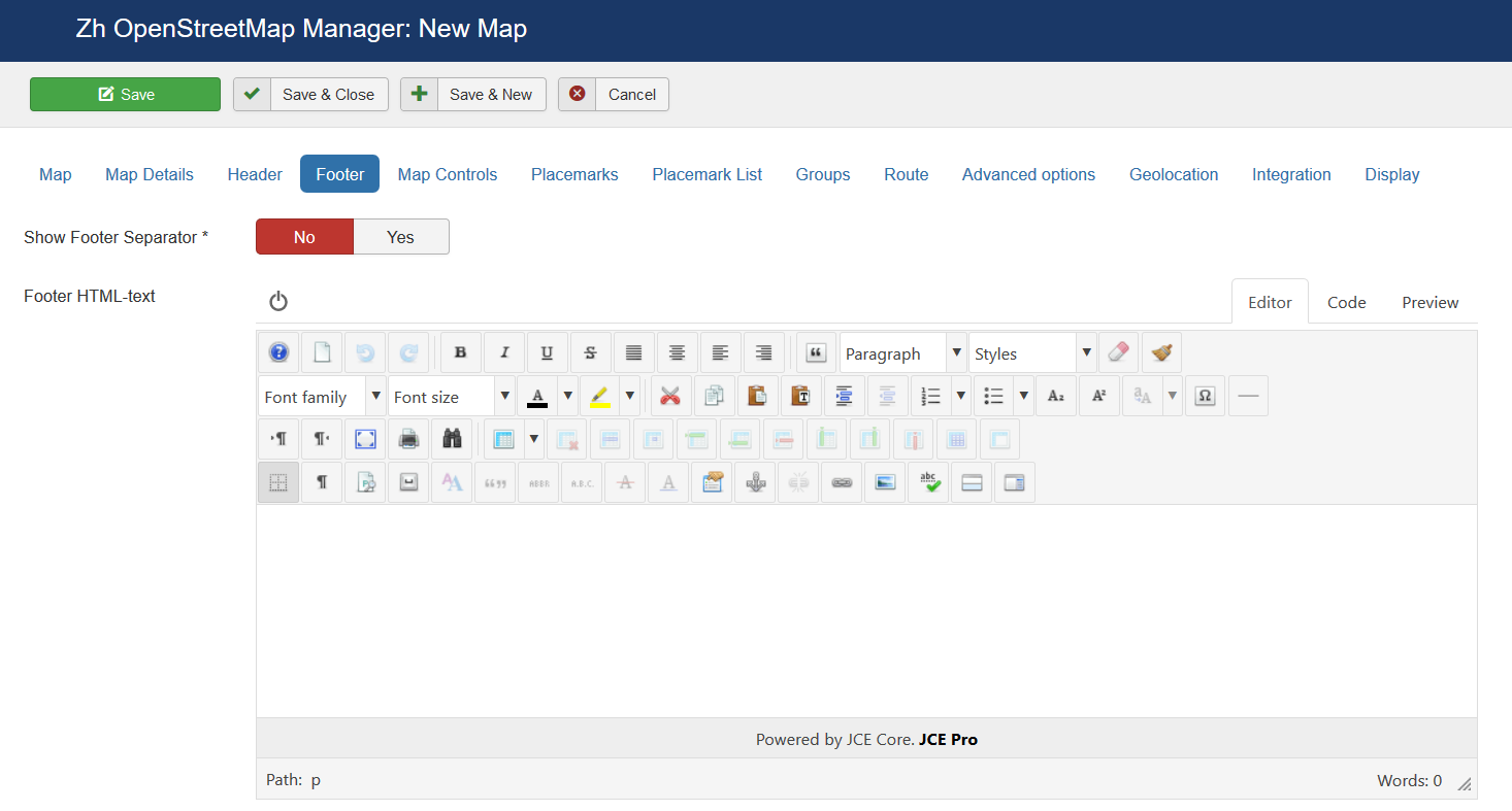
| Show Footer Separator | Show Separator before Footer HTML text |
| Footer HTML-text | HTML text on bottom of the map |
